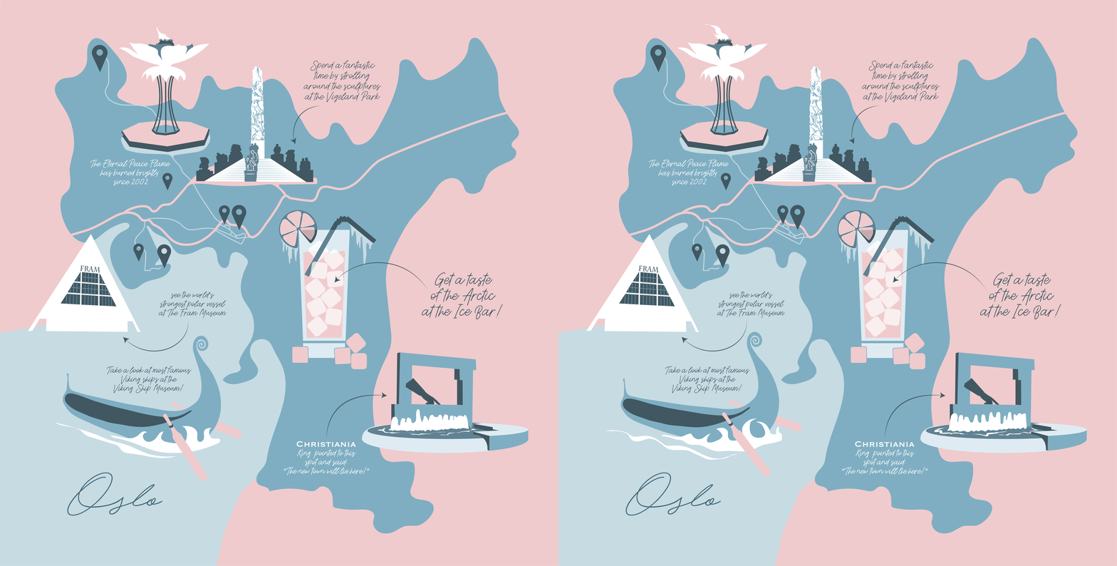
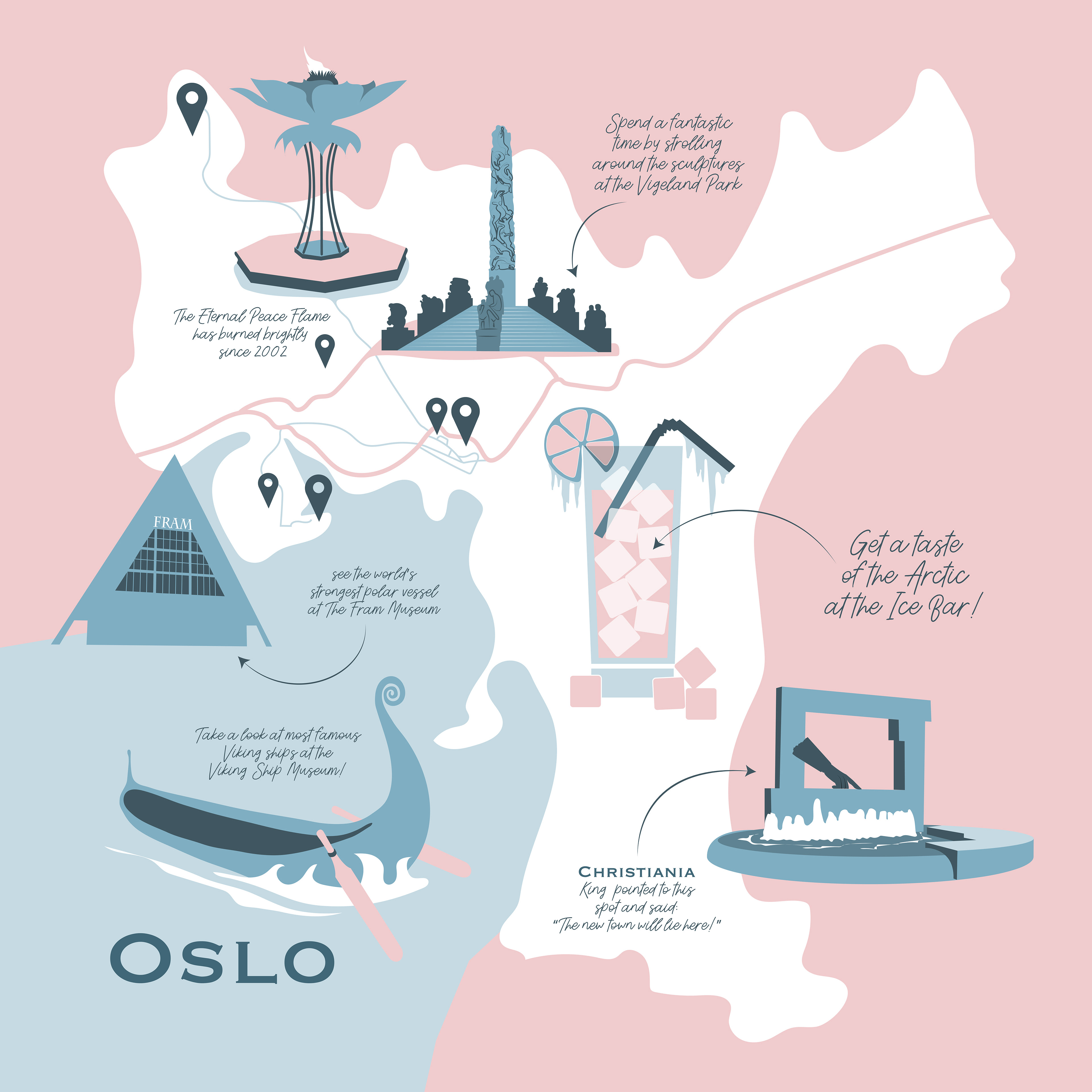




Illustrated maps are a popular style of map when trying to convey a particular sense of identity or place and are increasingly used in signage for wayfinding projects, town centre arrival points and campus and college mapping. Illustrated maps can also help to give a sense of orientation in a new town or city and encourage a visitor to spend more time and seek out further attractions.


